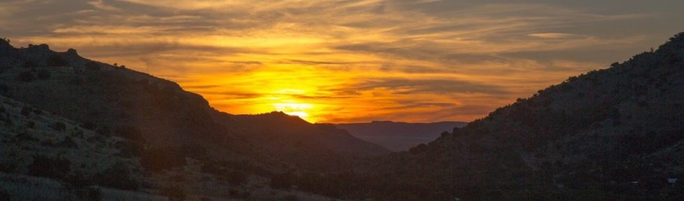
Yesterday Samalu and I ventured out to a healthy creek near Bat Island
to scope out the hydro potential. From the research I’ve done on the
web, and visiting installed systems nearby on Taveuni, it appears the
two keys to hydro are head and water flow. Head is the vertical drop
in water and water flow is, well, water flow. From there the math
gets complicated and my eyes glaze over. I left iterations in high
school calculus class a long time ago and do not care to return.
We hiked up the creek and found a nice spot with a natural flume. It
is just below the convergence of two creeks and adjacent to a bat
cave. Seriously, there were bats fluttering everywhere clicking their
radar noises and causing me much angst. I steadied my nerves and
stood still with bats whizzing by left and right to get another
reading on my GPS watch. It registered an elevation of 200’. This
was inconsistent, however, so my faith in its ability to pick up
accurate satellite data through the thick trees and clouds wasn’t
high. I was solo at this point as Samalu stopped about half way up to
take a quick nap. Hiking is not his strong suit. On the way, though,
he did point out a clever pig trap one industrious islander had set up
near the creek. After the observations I took note of what materials
I would need to test the flow and we returned to the village.
Day Two:
Today Papa and I made a return trip to Bat Island Creek to measure the
water flow and get more readings on the elevation. Papa had duties
working on the school addition yesterday so he couldn’t join us on the
first trip.
Before leaving we marked a trashcan in 10 litre increments and grabbed
a 5” PVC pipe about 8 feet long. I also clocked the distance from the
village generator shed to the proposed site of the turbine near the
beach at Bat Island. Samalu showed me a short cut across a point
yesterday so we decided to take this route on the way and measure the
distance. We would compare this distance with the beach route on the
return trip. The short cut turned out to be .20 miles longer than the
beach route and much more difficult with swamps, thick bush, and
hills. The overall distance of the shorter route was 1.03 miles.
This will have to be traversed with the turbine power wires if this
site proves workable, and I am assuming we would lose some, if not
substantial, power from the long distance of wire. That will be left
to an engineer to figure out. I’m just an Aggie with a bucket and
enough sense to be dangerous.
At the water flume we wrapped the PVC pipe with one of our broken
rubber exercise bands and pressed it tight within the natural concave
rock flume. This worked pretty good at making a seal and only a small
trickle passed by. It took 4 minutes and 26 seconds to fill the
bucket with 50 litres of water. This is a rate of .188 l/s, which
isn’t very good. The elevation measurements on my GPS were also
whacked out and I got readings varying from 200 feet to 400 feet. The
thought of trying to calculate the elevation using a hand made level
and string in the Fijian bush is something I don’t care to do so we
will have to wait on a good altimeter or a survey crew with good
equipment to figure this one out. At least we can show in our
proposal to funding organizations that we are at least trying.
After the water flow calculation we ventured up the creek about a
quarter of a mile to see if flow was visible higher up. Unfortunately
the creek bed was dry but it was a nice hike nonetheless. Papa said
the creek used to flow year round, even at the higher elevations,
until a large earthquake struck the island in 1979. After that the
flow pretty much stopped and was diverted to the opposite side of the
island. I looked around at the towering Vesi trees and thick bush
surrounding the once flourishing creek bed and admired mother nature’s
resilience and adaptability to changing conditions, even when she
created them. Of course if humans had decided to dam up the creek and
stop the water flow instead of mother nature the islanders would
probably have Al Gore himself show up in his private jet to protest
the pending inhalation of the entire island and a certain rise in sea
levels of 50 feet. The Washington Post would then run front page
headlines lionizing his efforts to not only save a small pacific
island, but also the entire world as this was the very spot all life
originated from, including the internet and Oprah Winfrey.
Anyway, we hiked back down and noticed a nice pool of water about a
tenth of a mile from the water flume spot we had measured earlier.
Papa wisely suggested we measure the water flow here even though I was
ready to book it back to the village for some lunch. We made another
make shift damn with rubber exercise tubes and a sailor hat and
managed to calculate a much better flow of 42 litres in 1 minute, 25
seconds. This calculates out to .50 litres per second, almost five
times higher than the first reading. Unfortunately my GPS was up to
the same tricks and never would give a consistent reading. The best I
could tell was it was about 100 feet lower. Papa also pointed out the
fresh water fish living in the pond; a good sign of consistent water
presence and thus flow.
We walked backed to the village with a successful day of somewhat
scientific analysis under out belts and a litter wiser to what the
island has to offer in regards to hydro power.
